


Mapping for deer
 03-22-2009 | 05:21 PM
#1
Thread Starter
Spike
Joined: Dec 2003
Posts: 56
Likes: 0
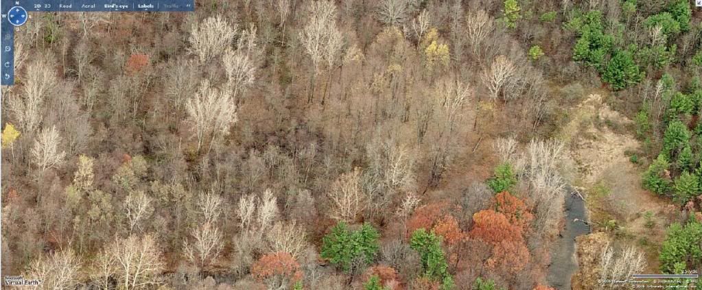
I have a question for those of you who have purchased a subscription to online mapping services. After you have purchased a subscription to any of the various ones available, are you able to ZOOM in for better quality and details than what you can see when you just browse them without a subscription? I have viewed them on line and have not been able to zoom in as much as I would like toon terrain features. Also is any service better than the next one or are they all the same? Thanks for the help. Mark

 03-25-2009 | 03:05 AM
#6
Nontypical Buck
Joined: Jan 2005
Posts: 1,210
Likes: 0
Here's a freebee. IDK if this is available to everyone but here in NC I can go to the county website/ tax office and use their mapping software for free. It also allows zooming and the ADDED bonus - you can find out who owns it/ where they live/ how big the parcel is/ etc. From there I go to yellowpages.com and type in owners info, get the phone number and call to set up an appointment with them to discuss hunting their land. I have aquired some really nice properties, done some preliminary scouting and never left the computer.

