So here is the topo...
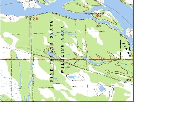
You can see that the area is relatively flat - most of the drainage areas don't even show on the topo because the elevation change is so little.
I do know that most of the bottom is filled with mixed hardwoods with scattered canary grass patches, with the exception of the far western edge of the aerial, which has a bit more pine mixed in with the hardwood and also has less low-lying brush.