


Aerial Photos

 07-14-2006 | 08:01 PM
#2
Joined: Mar 2004
Posts: 13,082
Likes: 0
From:
07-14-2006 | 08:03 PM
#4
Nontypical Buck
Joined: Jan 2005
Posts: 1,118
Likes: 0
From:
07-14-2006 | 08:46 PM
#6
Joined: May 2006
Posts: 20
Likes: 0
From: Minnesota
SkipHunter-Some county web sites offer aerial photos. You look under property info sections and you can usually get the land owners names and other property info. At least thats what I'm finding on a few of the counties I hunt in here in Minnesota. Plus its all free. Its considered public records.
07-14-2006 | 08:51 PM
#7
Thread Starter
Joined: Jul 2006
Posts: 14
Likes: 0
From:
I use the county websites a lot with my profession. They are usually great in populated areas. Several countiesyou can tell what kind of cars arepeople's driveways! (great for locating assets!!!)
The land I hunt in the midwest though...Well it only has 2 redlights within 30 minutes. My daughter could create a better county website then theirs! lol
I subscribed to topozone once and just wasn't quite eager to drop 50 bucks to renew.
The land I hunt in the midwest though...Well it only has 2 redlights within 30 minutes. My daughter could create a better county website then theirs! lol
I subscribed to topozone once and just wasn't quite eager to drop 50 bucks to renew.
07-15-2006 | 08:16 PM
#9
Joined: Dec 2003
Posts: 818
Likes: 0
From: Southeast, TX
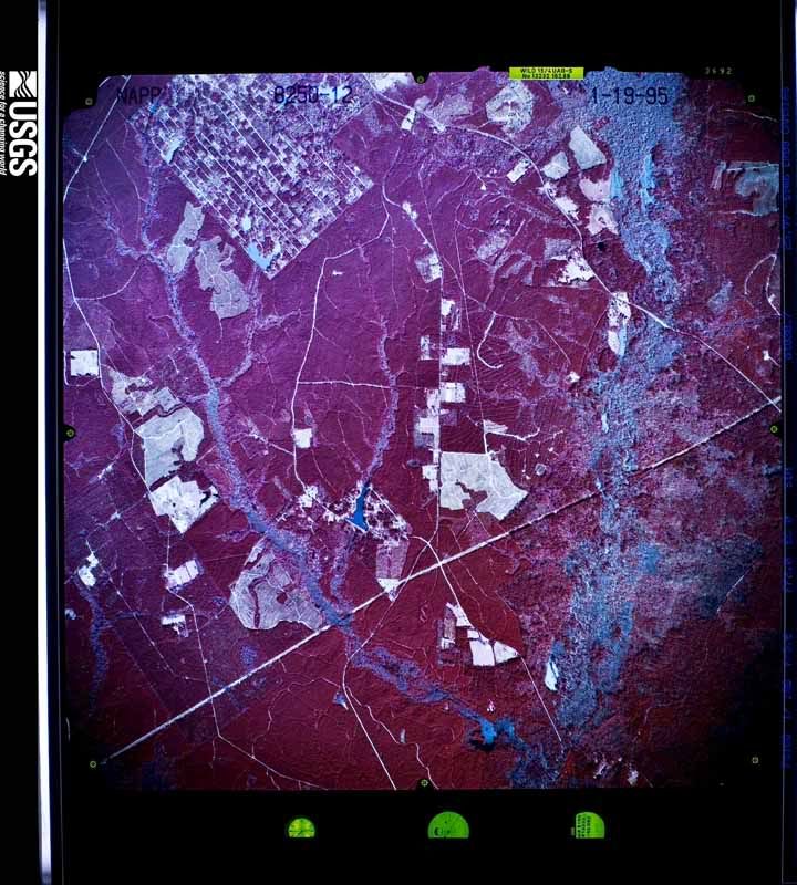
Try the USGS site. I've gotten a couple from there.
I can't remember exactly where to go on that site, but click around and I'll bet you figure it out. Here's an examplepic containing the lease I recently acquired.
I can't remember exactly where to go on that site, but click around and I'll bet you figure it out. Here's an examplepic containing the lease I recently acquired.
