I went to the map in the link and couldn't really tell much. Your attachment is too small to really see much of anything? If you want people to try and pick out some spots you are going to have to do a little better job of letting them know what we are looking at. You can use
www.mapquest.com or
www.googlemaps.com with their aerial view features and that works pretty good. Do a print screen and then paste it into microsoft paint and you can draw on it or whatever you want.
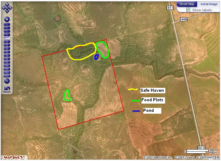
Here is an example I did when I was asking questions about my tiny little property:
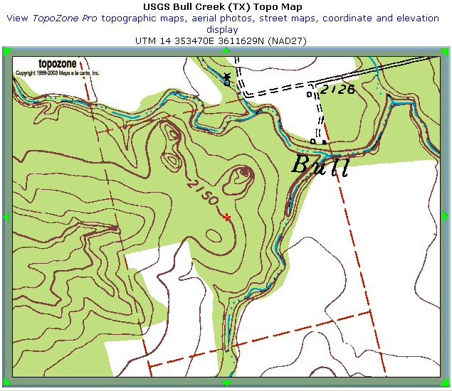
You can do the same thing with a topographical map from
www.topozone.com :
If you need help drop me a PM or email and I'll try to help.
Nathan